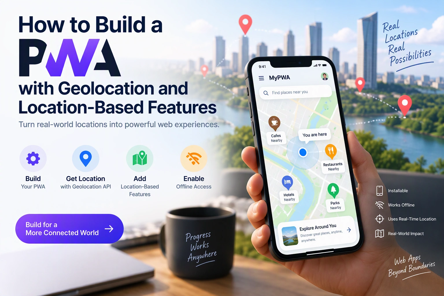
Progressive Web Apps (PWAs) combine the accessibility of websites with useful app-like capabilities. One powerful feature is geolocation, which allows applications to access a user’s location with permission and deliver services based on their current position.
A PWA with geolocation can support nearby store discovery, location-based recommendations, delivery tracking, local service searches, travel assistance, and regional content. Businesses can use these features to improve user experience and provide more relevant services without requiring users to install a traditional mobile application.
In this guide, we will explore how to build a Progressive Web App with geolocation, location-based features, the required technologies, implementation steps, security considerations, and development costs.
1. What Is a Geolocation-Based PWA?
A geolocation-based PWA is a web application that uses a device’s location to provide relevant information or services.
It typically uses the browser’s Geolocation API to request location permission and retrieve coordinates such as latitude and longitude.
For example, a location-based shopping PWA can:
- Display nearby stores.
- Show directions to a selected store.
- Find products available at nearby locations.
- Provide location-specific offers.
- Estimate delivery availability based on the user’s area.
A geolocation feature does not automatically provide continuous background tracking. Location access depends on browser permissions, device settings, and platform capabilities.
2. Key Features to Include
Before development, identify the location-related features your application needs.
| Feature | Purpose |
|---|---|
| Current Location Detection | Retrieves the user’s coordinates with permission |
| Interactive Maps | Displays locations, routes, and nearby places |
| Nearby Search | Finds services or businesses within a selected radius |
| Distance Calculation | Estimates the distance between two coordinates |
| Location-Based Recommendations | Displays relevant content based on location |
| Address Selection | Allows users to select or enter an address |
| Geofencing | Detects when a user enters or exits a defined area, where supported |
| Location-Based Notifications | Delivers relevant notifications through supported mechanisms |
| Location Preferences | Saves user-selected locations and search preferences |
Start with essential features such as location detection, maps, nearby search, and distance calculation. Add advanced functionality based on actual business requirements.
3. Choose the Right Technology Stack
The technology stack should support geolocation, map rendering, API communication, and responsive PWA functionality.
| Layer | Recommended Technologies |
|---|---|
| Frontend | JavaScript, React, Vue.js |
| Styling | CSS, Tailwind CSS, Bootstrap |
| Geolocation | Browser Geolocation API |
| Maps | Google Maps, Mapbox, OpenStreetMap with a suitable map library |
| Backend | Node.js, Python, Laravel |
| Database | PostgreSQL with PostGIS, MySQL, MongoDB |
| APIs | REST APIs, GraphQL |
| PWA | Web App Manifest, Service Workers |
| Push Notifications | Web Push API, Firebase Cloud Messaging where supported |
| Hosting | AWS, Google Cloud, Azure, Vercel |
For applications that need advanced geographic searches, PostgreSQL with PostGIS is a strong choice because it supports spatial data and distance-based queries.
4. Plan the PWA Architecture
A location-based PWA needs a frontend, location services, a backend API, and a database.
A typical architecture looks like this:
User Device
    |
    v
Progressive Web App
    |
    +---- Geolocation API
    |
    +---- Interactive Map
    |
    v
Backend API
    |
    +---- Location Search
    |
    +---- Distance Calculation
    |
    +---- Business Logic
    |
    v
Geospatial Database
    |
    +---- User Preferences
    |
    +---- Business Locations
    |
    +---- Service Areas
    |
    v
Relevant Location-Based Results
The browser obtains location data after permission is granted. The frontend sends only the necessary coordinates to the backend, which performs nearby searches and returns relevant results.
Avoid collecting or storing precise location data unless the application genuinely requires it.
5. Implement Browser Geolocation
The browser Geolocation API provides methods to retrieve the current location or monitor location changes while a page is active.
The application must use a secure context, normally HTTPS, and request permission before accessing location information.
Example: Get the Current Location
function getCurrentLocation() {
  if (!navigator.geolocation) {
    console.error("Geolocation is not supported.");
    return;
  }

  navigator.geolocation.getCurrentPosition(
    (position) => {
      const latitude = position.coords.latitude;
      const longitude = position.coords.longitude;

      console.log("Latitude:", latitude);
      console.log("Longitude:", longitude);
    },
    (error) => {
      console.error("Location error:", error.message);
    },
    {
      enableHighAccuracy: false,
      timeout: 10000,
      maximumAge: 60000
    }
  );
}
This function checks browser support, requests location permission, and retrieves coordinates.
The configuration options help control location accuracy, request timeout, and whether a recent cached position can be reused.
Handle Permission Errors
Users may deny location access or have location services disabled. Your application should handle these situations gracefully.
Common cases include:
- Permission denied.
- Location temporarily unavailable.
- Request timeout.
- Browser does not support geolocation.
Provide a manual location or address selection option so users can continue using the application without granting location access.
6. Display the User’s Location on a Map
After obtaining coordinates, display the user’s position on an interactive map.
Map providers and libraries offer different features, pricing models, and usage restrictions. Choose one based on your application’s geographic coverage and requirements.
For example, Leaflet can display a map using an appropriate OpenStreetMap tile provider.
const map = L.map("map").setView(
  [latitude, longitude],
  14
);

L.tileLayer(
  "https://{s}.tile.openstreetmap.org/{z}/{x}/{y}.png",
  {
    attribution: "© OpenStreetMap contributors"
  }
).addTo(map);

L.marker([latitude, longitude])
  .addTo(map)
  .bindPopup("Your current location");
In production, follow the selected tile provider’s usage policy, attribution requirements, and traffic limits. OpenStreetMap data is not the same as an unlimited free public tile service.
Useful map capabilities include:
- Current-location markers.
- Searchable map locations.
- Zoom and navigation controls.
- Nearby business markers.
- Route visualization.
- Custom location pins.
7. Develop Nearby Location Search
Nearby search is one of the most valuable features in a geolocation-based PWA.
For example, a restaurant discovery application can show restaurants within a five-kilometer radius of the user’s current location.
The frontend sends latitude, longitude, and search radius to the backend.
Example API request:
GET /api/places/nearby?lat=26.2389&lng=73.0243&radius=5000The backend validates the coordinates and searches for matching records.
Example Database Structure
| Field | Description |
|---|---|
| id | Unique location ID |
| name | Business or place name |
| category | Location category |
| latitude | Geographic latitude |
| longitude | Geographic longitude |
| address | Full address |
| status | Active or inactive |
For larger applications, store coordinates in a geographic database type and create spatial indexes.
With PostgreSQL and PostGIS, a nearby search can use ST_DWithin:
SELECT
    id,
    name,
    address
FROM places
WHERE ST_DWithin(
    location,
    ST_SetSRID(
        ST_MakePoint(:longitude, :latitude),
        4326
    )::geography,
    :radius_in_meters
);
This query retrieves locations within the specified radius. The database should have an appropriate spatial index for efficient searches.
8. Calculate Distance Between Locations
Distance calculation helps users understand how far a place is from their current position.
For example, a delivery PWA can estimate the distance between a customer and a nearby store.
The Haversine formula is commonly used to calculate approximate great-circle distance between two geographic coordinates.
function calculateDistance(lat1, lon1, lat2, lon2) {
  const toRadians = (value) => value * Math.PI / 180;
  const earthRadius = 6371;

  const dLat = toRadians(lat2 - lat1);
  const dLon = toRadians(lon2 - lon1);

  const a =
    Math.sin(dLat / 2) ** 2 +
    Math.cos(toRadians(lat1)) *
    Math.cos(toRadians(lat2)) *
    Math.sin(dLon / 2) ** 2;

  const c = 2 * Math.atan2(
    Math.sqrt(a),
    Math.sqrt(1 - a)
  );

  return earthRadius * c;
}
This returns an approximate straight-line distance in kilometers. Actual road distance and travel time require a routing service.
9. Add Location-Based Recommendations
Location-based recommendations help applications display content that is relevant to a user’s area.
Examples include:
- Nearby restaurants and shopping stores.
- Local events and attractions.
- Regional offers and promotions.
- Nearby healthcare services.
- Location-specific delivery options.
- Local weather or travel information.
A recommendation engine can consider location, user preferences, category, distance, and business availability.
For example, a shopping PWA can prioritize nearby stores that have the requested product in stock.
Allow users to adjust their preferred search radius and location rather than making all decisions automatically.
10. Implement Geofencing and Location-Based Notifications
Geofencing involves defining a virtual geographic boundary around a real-world location.
When a device enters or exits that boundary, an application may use the event to trigger an action.
Potential use cases include:
- Retail stores sending relevant promotional messages.
- Delivery applications tracking service-area entry.
- Event applications displaying venue information.
- Travel applications highlighting nearby attractions.
However, standard browser PWAs cannot reliably perform continuous background geofencing across all devices and browsers.
The Geolocation API’s watchPosition() can monitor location changes while the page is active:
const watchId = navigator.geolocation.watchPosition(
  (position) => {
    console.log(
      position.coords.latitude,
      position.coords.longitude
    );
  },
  (error) => {
    console.error(error.message);
  },
  {
    enableHighAccuracy: true,
    maximumAge: 5000,
    timeout: 15000
  }
);
Stop watching when it is no longer needed:
navigator.geolocation.clearWatch(watchId);Web Push notifications can be delivered through a service worker, but they do not provide a reliable mechanism for continuously tracking a user’s location in the background. If dependable background geofencing is essential, consider a native or hybrid mobile application with appropriate operating-system permissions.
11. Make Location Features Work with PWA Capabilities
A geolocation-based PWA should also provide a good experience when network connectivity is limited.
Service Workers and IndexedDB can support useful offline functionality.
| PWA Capability | Location-Based Application |
|---|---|
| Service Workers | Cache application resources |
| IndexedDB | Store selected locations and recent search results |
| Web App Manifest | Support installation on compatible devices |
| Background Sync | Retry eligible queued requests when supported |
| Responsive Design | Adapt maps and location controls to screen sizes |
| Push Notifications | Deliver server-triggered notifications where supported |
For example, users can view previously loaded location details when offline. However, fresh nearby searches, live routes, and current location accuracy may require device and network access.
12. Secure Location Data and User Privacy
Location data can reveal sensitive information about users. Security and privacy should be part of the application architecture from the beginning.
Important practices include:
- Request location permission only when needed.
- Clearly explain why location access is required.
- Use HTTPS across the application.
- Collect only the minimum location data necessary.
- Avoid storing precise location history without a clear business need.
- Apply access controls to location-related APIs.
- Validate coordinates on the backend.
- Set appropriate retention and deletion policies.
- Protect API keys and restrict map provider credentials.
- Provide manual location selection and permission controls.
Businesses should also follow applicable privacy regulations, such as GDPR and relevant regional data protection requirements.
13. Test the PWA Across Devices and Browsers
Geolocation behavior can vary depending on the browser, operating system, device permissions, and available location services.
Test the application on:
- Android Chrome.
- iOS Safari and installed Home Screen PWAs.
- Desktop Chrome, Edge, and Firefox.
- Different screen sizes.
- Slow and unstable network connections.
- Denied and revoked location permissions.
- Inaccurate or unavailable GPS readings.
- Offline and reconnecting scenarios.
Also test map loading, nearby search performance, API errors, and fallback address selection.
14. Common Development Challenges
| Challenge | Recommended Solution |
|---|---|
| Location permission denied | Provide manual address selection |
| Inaccurate coordinates | Handle accuracy values and allow location refresh |
| Slow nearby searches | Use spatial indexes and optimized queries |
| Map loading problems | Configure a reliable map provider and fallback |
| High API usage costs | Cache appropriate results and monitor usage |
| Background tracking limitations | Use native or hybrid technology when essential |
| Privacy concerns | Apply data minimization and clear consent |
| Offline limitations | Cache previously retrieved data where appropriate |
Planning for these challenges early helps reduce development risks and improves application reliability.
15. Estimate Development Cost
The cost of building a PWA with geolocation depends on the number of features, backend complexity, map provider, integrations, and testing requirements.
| Development Scope | Estimated Cost (USD) |
|---|---|
| Basic PWA with current-location detection | $3,000–$6,000 |
| PWA with maps and nearby search | $6,000–$12,000 |
| Advanced location-based platform | $12,000–$25,000 |
| Enterprise platform with advanced integrations | $25,000+ |
These are indicative planning estimates, not verified market quotations. Map services, hosting, third-party APIs, and ongoing maintenance may create additional costs.
16. Final Development Checklist
Before launching, make sure your PWA includes:
- Responsive and installable PWA structure.
- Secure browser geolocation implementation.
- Clear permission and error handling.
- Interactive map integration.
- Nearby search and distance calculation.
- Location-based recommendations.
- Manual address selection.
- Privacy and security controls.
- Offline support for previously loaded data.
- Cross-browser and device testing.
- Performance monitoring and API usage tracking.
Conclusion
Building a PWA with geolocation and location-based features requires more than simply accessing a user’s coordinates. It involves map integration, geographic search, backend processing, privacy controls, and a reliable experience across browsers and devices.
By combining JavaScript, the Geolocation API, interactive maps, spatial databases, and PWA technologies, businesses can develop applications for local discovery, delivery, retail, travel, and location-aware services.
The most important decision is to select features that match the actual user requirements while respecting browser limitations and location privacy.
Looking to build a custom PWA with geolocation and location-based features? Dotcube Technologies can help design and develop a Progressive Web App tailored to your business requirements.
Contact Dotcube Technologies: https://www.dotcubetechnologies.com/#contact